 in collaboration with

Flood Response Mapping and Analytics
Interactive mapping and data visualisation for a flood emergency planning and response tool.
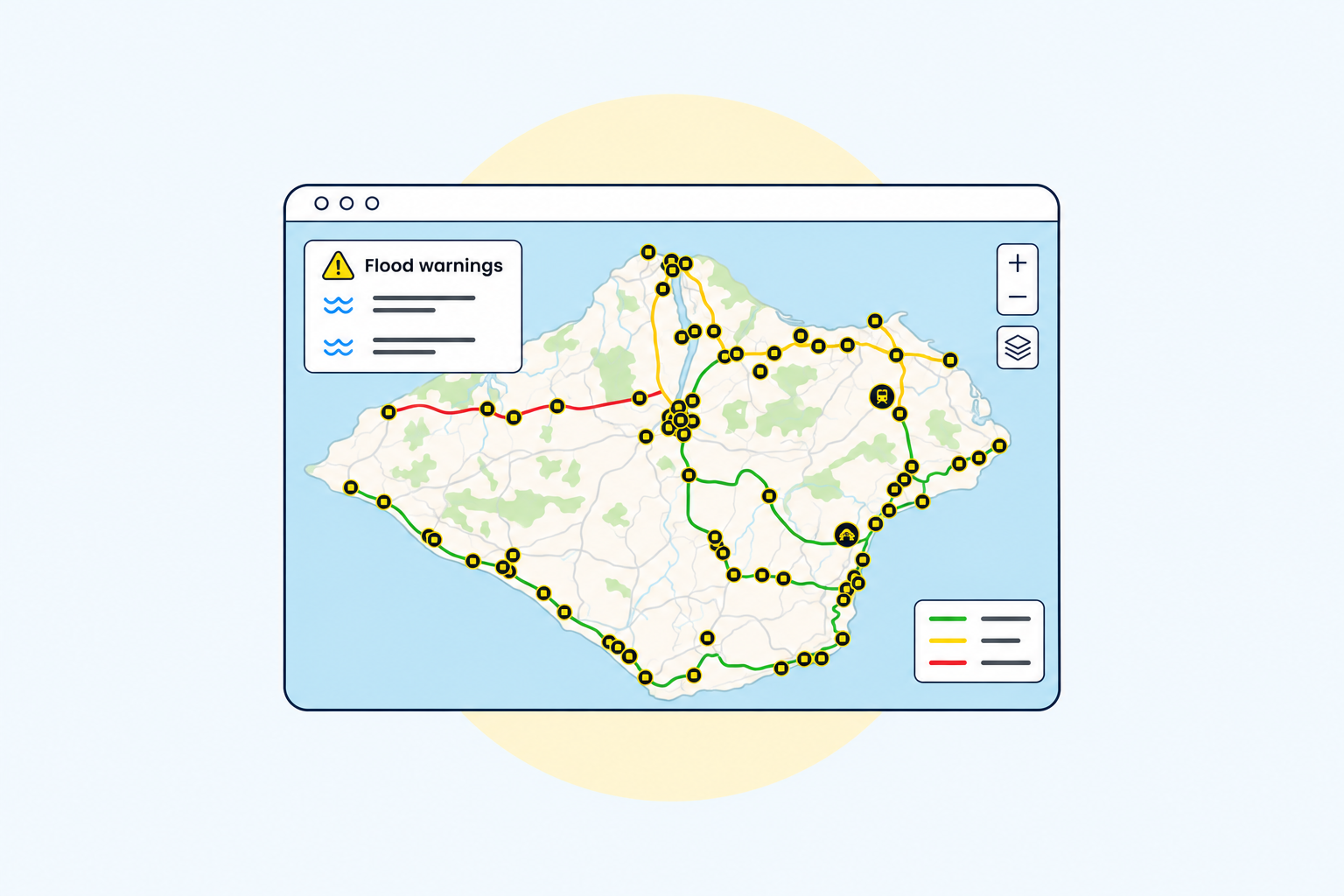
From June to August 2024, I worked through Coefficient on VISTA, a map-based data visualisation and analytics tool for the UK Department for Business and Trade.
Funded under the National Digital Twins programme, the project aimed to provide an open-source GIS-style tool for emergency planning and response. I developed interactive visualisations with React, TypeScript, Tailwind CSS and MapLibre, and integrated complex data sources from Ordnance Survey, the Environment Agency and the Met Office through GraphQL.